
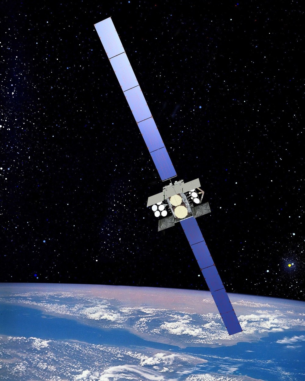
Wideband Global SATCOM (WGS)
Military communications satellite constellationIn serviceFielded 2008Pending verification
Also known as: WGS, Wideband Gapfiller
SpaceUSA
Fact cardConfidence · Source
System
TypeMilitary communications satellite constellation
Alternative designationsWGS, Wideband Gapfiller
Date of introduction2008
ProliferationAt least 7 countries
Program statusWGS-11+ to launch on Vulcan with a Protected Tactical SATCOM payload; WGS-12 funded; Australia, Canada, Denmark, Luxembourg, Netherlands, New Zealand partners; Poland and Japan joined in 2024Med[1][2]
Dimensions and weight
Mission
Orbit
Catalogued on orbit10Payloads with current element sets in the public catalog, active or not.High[3]
Active (CelesTrak)10Count in the CelesTrak active satellites list, which estimates operational status.Med[3]
Orbital period1,436.1–1,436.2 minActive satellites per CelesTrak, element epoch about 2026-11-08.High[3]
Catalogued satellites · 10[3]
| Name | NORAD | COSPAR | Perigee km | Apogee km | Incl. ° | Period min | Status |
|---|---|---|---|---|---|---|---|
| WGS F1 (USA 195) | 32258 | 2007-046A | 35,783 | 35,791 | 0.06 | 1436.1 | Active |
| WGS F2 (USA 204) | 34713 | 2009-017A | 35,786 | 35,787 | 0.02 | 1436.1 | Active |
| WGS F3 (USA 211) | 36108 | 2009-068A | 35,787 | 35,788 | 0.28 | 1436.1 | Active |
| WGS F4 (USA 233) | 38070 | 2012-003A | 35,783 | 35,792 | 0.01 | 1436.2 | Active |
| WGS F5 (USA 243) | 39168 | 2013-024A | 35,786 | 35,788 | 0.02 | 1436.1 | Active |
| WGS F6 (USA 244) | 39222 | 2013-041A | 35,786 | 35,788 | 0.02 | 1436.1 | Active |
| WGS F7 (USA 263) | 40746 | 2015-036A | 35,786 | 35,787 | 0.01 | 1436.1 | Active |
| WGS F8 (USA 272) | 41879 | 2016-075A | 35,784 | 35,788 | 0.02 | 1436.1 | Active |
| WGS F9 (USA 275) | 42075 | 2017-016A | 35,786 | 35,788 | 0.02 | 1436.1 | Active |
| WGS 10 (USA 291) | 44071 | 2019-014A | 35,786 | 35,788 | 0.02 | 1436.1 | Active |
Mean elements at epoch 2026-11-08 or later. Perigee and apogee are computed from mean motion and eccentricity and are approximate. Status follows the CelesTrak active list.
The U.S. military's highest-capacity communications satellites, providing X- and Ka-band service worldwide; designed to replace DSCS.
Draft entry. Values come from the cited public sources and are awaiting editor verification.
- Wideband Global SATCOM (weapons and platforms entry), Air & Space Forces Magazine
Tier 3 · checked 2026-11-08 - WGS (archive entry), Air & Space Forces Magazine
Tier 3 · checked 2026-11-08 - NORAD GP element sets (current data), CelesTrak (data from the U.S. Space Force 18th/19th Space Defense Squadron catalog)
Published/updated 2026-11-08 · Tier 1 · checked 2026-11-08
- 2026-11-08 Entry created from cited open sources
- 2026-11-08 Orbital elements from CelesTrak GP data (epoch about 2026-11-08): 10 catalogued, 10 active.